
MODELS MODELS MODELS…What ever happened to forecasting?
Right out of the gate, here is our number one problem… The storm system that is causing so much hype and hysteria has not even developed yet and the source of its energy is still in the Pacific!

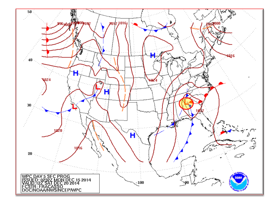
Shown here is the spread in model confidence at 132 hours. The pretty pictures going around the Internet are possible solutions from the European and GFS. Without going into jargon, there is a lot of room for error as show here. The GFS has potential tracks spanning some 800 miles while the European has 500 miles. For Winter weather folks, this is HUGE!!! Published yesterday was an image showing that a track 50 miles either way could mean the difference between receiving nothing and 5 or more inches of snow!
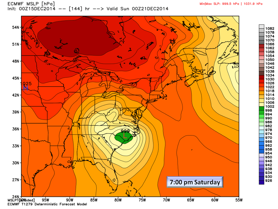
Shown here is the European WPO Mean Sea Level Pressure for Saturday. The European continues to show a developing storm out of the Gulf and a track through Georgia, South Carolina, and departing NC in the northern Outer Banks.
The Hydrological Prediction Center (HPC) forecasts the Low to be on a more northward track which would push the systems core up through the eastern side of the Appalachians and out through Central Virginia.
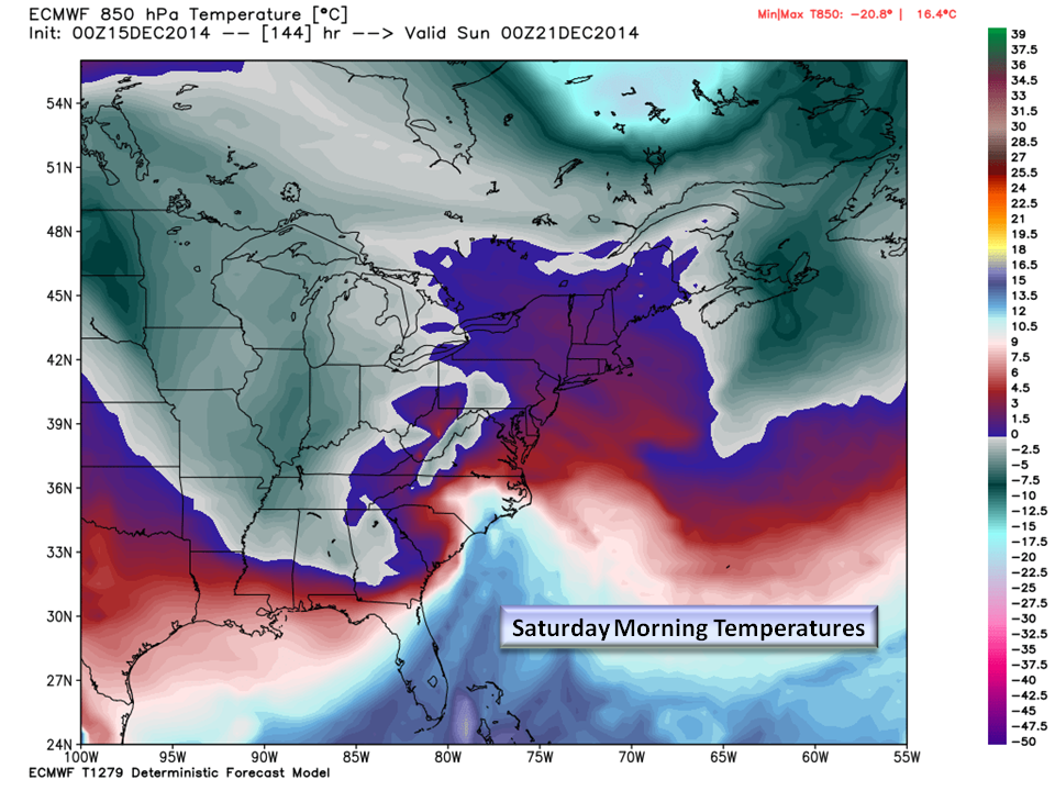
Temperatures:
The temperatures for Saturday morning in the Piedmont will be cool, but less than ideal to support Snow. Let’s rephrase that…it’s just too warm for snow. The only folks that will see any accumulating snow will be those in the mountains at elevations above 2,000 feet.
The Bottom Line:
This is our first opportunity to receive winter precipitation and it is especially more important as its arrival is on one of the busiest travel weekends of the year. This gives it a lot of attention. There are lot of social media weather sites out there and they all want your attention as well.
NC Weather Happens is an advocate of responsible and ethical weather reporting and we continue that by advising caution when sharing pretty pictures of snowfall totals unless there is high confidence in the outcome. Today, confidence is extremely LOW that we will receive snow.
NC Weather Happens explained last week that with systems like these, we won’t know what is going to happen until it is virtually on top of us which means Wednesday we will be able to forecast with confidence any details about this system. Today, we can say that based on current estimated storm tracks and thermal profiles, the best chances for any snow in the Piedmont region of NC will be Saturday morning as the system moves out and then only a wet snow with a cold rain.
It’s difficult to see accumulating snow when it is nearly 40 degrees! It is even more difficult for anything to stick when the ground temperature is also in the 40’s. These are two laws of thermodynamics that we can’t break no matter how hard we try!
Be weather wise and weather smart!
NC Weather Happens. Enjoy it!