
Sorry, we tried as hard as we could, but just couldn’t make a White Christmas happen this year.
Here’s the weather situation for Christmas Eve and Christmas Day. A powerful storm system coming out of the Gulf of Mexico will move through the Great Lakes into Canada. A rare feature of this storm will be the development of a “Triple Point Low”…which just means that 3 low pressure systems come together to make an even more powerful storm.
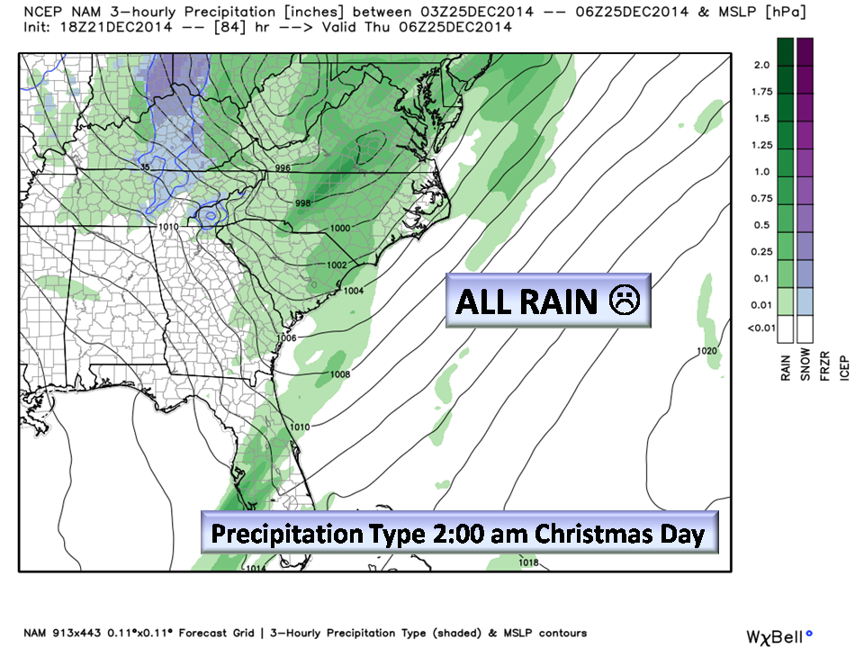
For our area, here’s what we can expect. No Snow.
Christmas Eve:
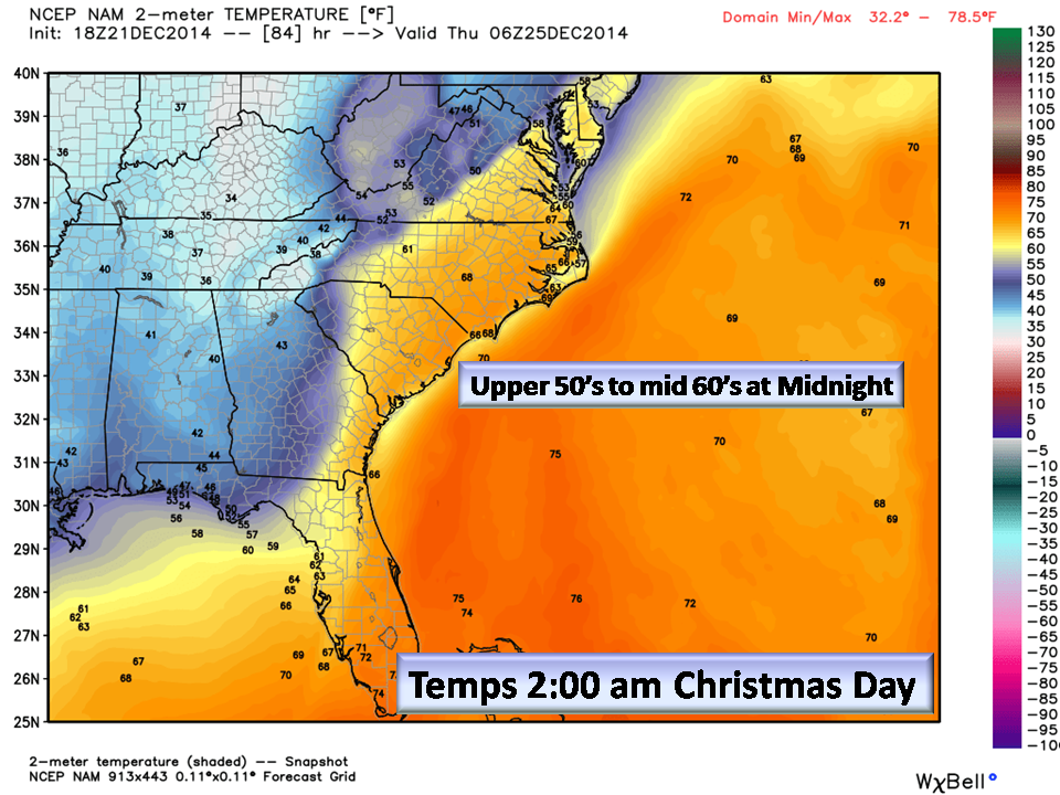
- Temps rising throughout the day into the late evening topping out into the 60’s.
- 100% chance of rain. Amounts greater than 2 inches expected and 4 inches in isolated thunderstorms possible.
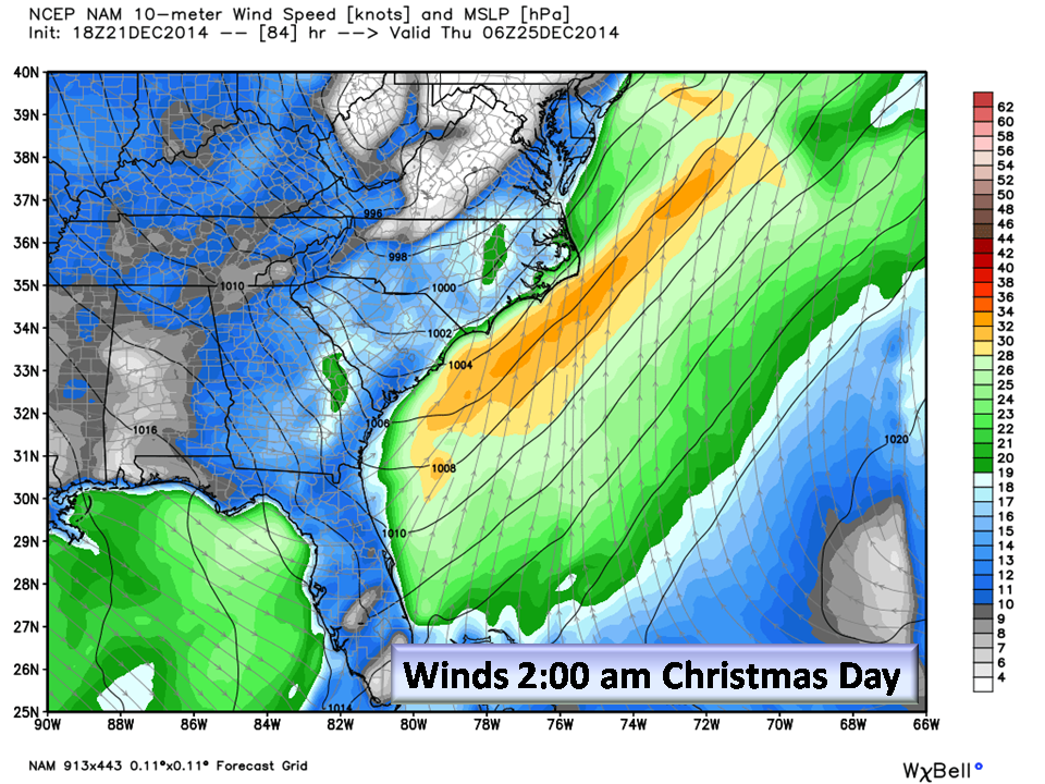
- Gusty winds especially late evening.
- Heavy rain.
- Thunderstorms possible especially east (more on that in a minute)…
Christmas Day:
- Front should clear the area by daybreak Christmas morning.
- Gusty winds
- Partly cloudy with highs in the low to mid 50’s.

Keep a close eye on the weather if you will be out Christmas Eve. It is shaping up to be a stormy night in the Piedmont. Advisories, Watches and Warnings may be issued.
About winter thunderstorms…If I recall my folklore correctly, 7-10 days after hearing thunder in winter it will snow! In the weather pattern we are entering, that is entirely possible!
NC Weather Happens. Enjoy it!
Don’t forget to follow this blog on the website.