
Beat the new Facebook distribution policies on January 1st by following us on ncwxhappens.com
Welcome new subscribers and Facebook followers!!!
Today shouldn’t be a complete washout as a line of showers approaches this morning from the southwest.
Showers should clear the area tomorrow afternoon as a cold front enters the region putting the chill on through the rest of the week. 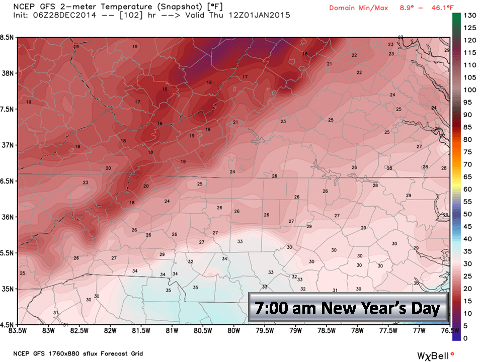 Your New Years Eve will be cold with temps in the 20’s after midnight and pockets of low 20’s and some teens possible (in outlying areas) by daybreak New Years Day.
For the snow lovers out there:
We don’t see any solid hits in the medium-range models (next 10 days). The one thing that is showing up clearly is the trend towards colder air. We are still looking at the 12th time frame for a possible polar outbreak and a “winter weather opportunity“. This is only week 3 of astronomical winter, so be patient.
We are still under the influence of the Bermuda High which is keeping us warmer than normal, so until that breaks down and the massive Pacific trough on the west coast eases up, our weather will not change very much. As we mentioned earlier, there are indicators (teleconnections) showing this weather pattern changing towards the middle of January so Winter is NOT over.
Tomorrow we will have a look at updated long-range models and certainly share that with you.
Have a great week!!!
NC Weather Happens. Enjoy it!