
HAPPY NEW YEAR!!! After enduring the warmest December on record, we have to wonder where has winter gone?
Everyone wants to know one thing…When will it snow. Being able to say when is great for our sponsors as hundreds of thousands of people will share the news…I just wish I could say that this time. In case you missed it back in October, here is our Winter Weather Forecast.
A Look At The Medium Range for the Central Piedmont:
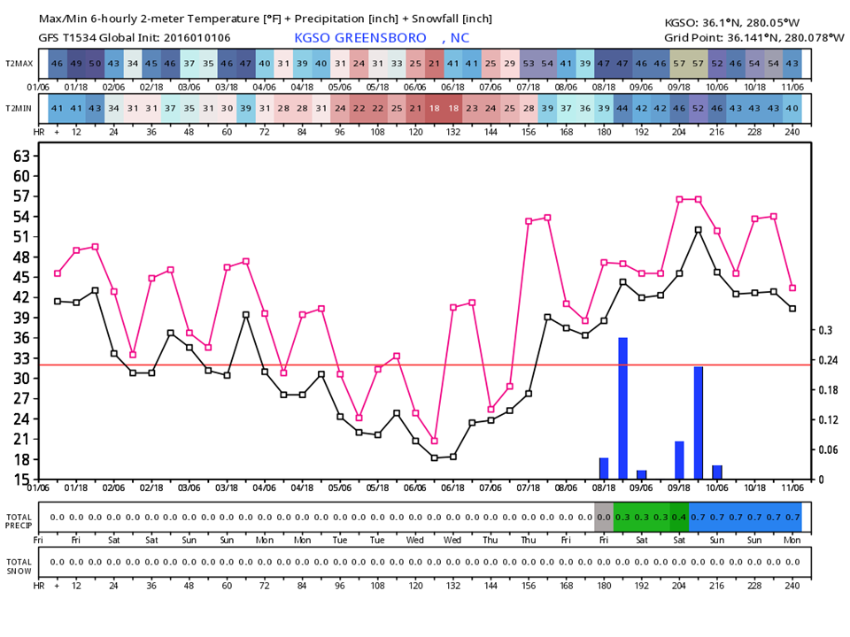
This Meteogram is for Greensboro, but is fairly representative of the Piedmont region of NC from the foothills to the Triangle.
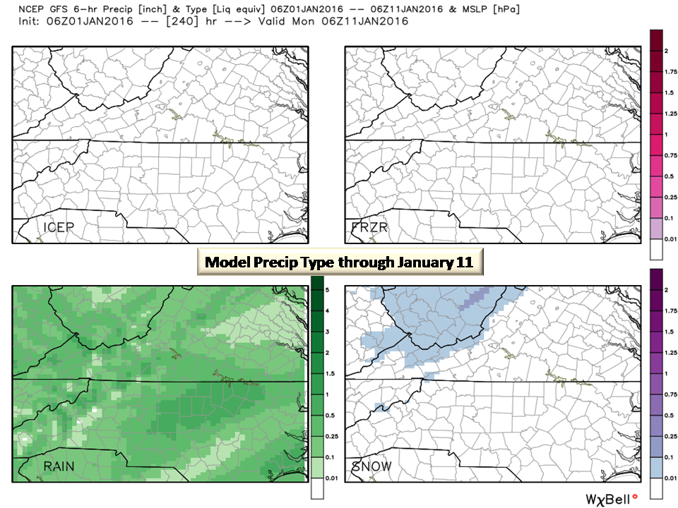
What the GFS Model is telling us (and in good agreement with the Euro and Canadian) is that for the next 6 days we will have a rather dramatic cooling trend. January will begin near to slightly below normal for temperatures and no rain. As we get into Tuesday, we will bottom out in the low 20’s with teens possible. From Wednesday on, we will warm up to the normal range and then warm to near 60 through the 11th. Next weekend will have some rain but not a complete washout with 3/4 of an inch of all rain.
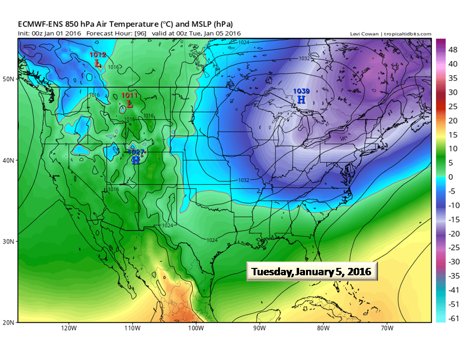
Where is the Cold?
Our attention focuses on the 5th right now as a very strong 1038mb ridge of high pressure moves in. This will be another Cold Air Dam event and the line graph above clearly shows the cold it will bring.
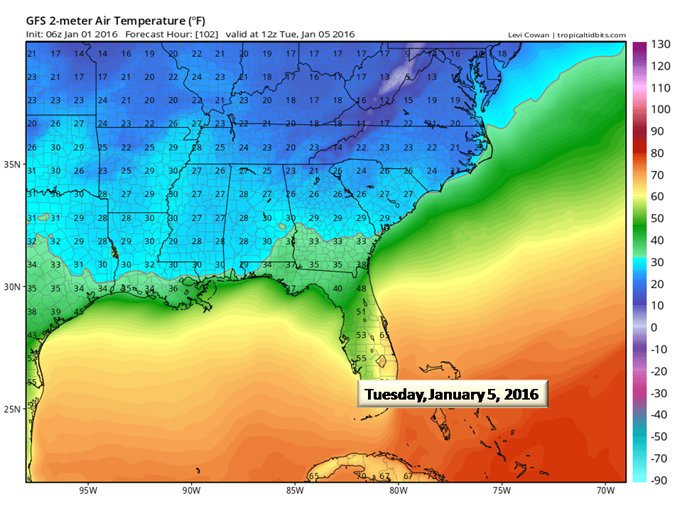

The Canadian model does a really good job forecasting cold which is why we are suggesting that chances are really good that mid to upper teens for lows will be more widespread. It’s probably a good idea to check water pipes and unhook garden hoses in preparation for cold overnight temperatures Tuesday and Wednesday.
What about snow?
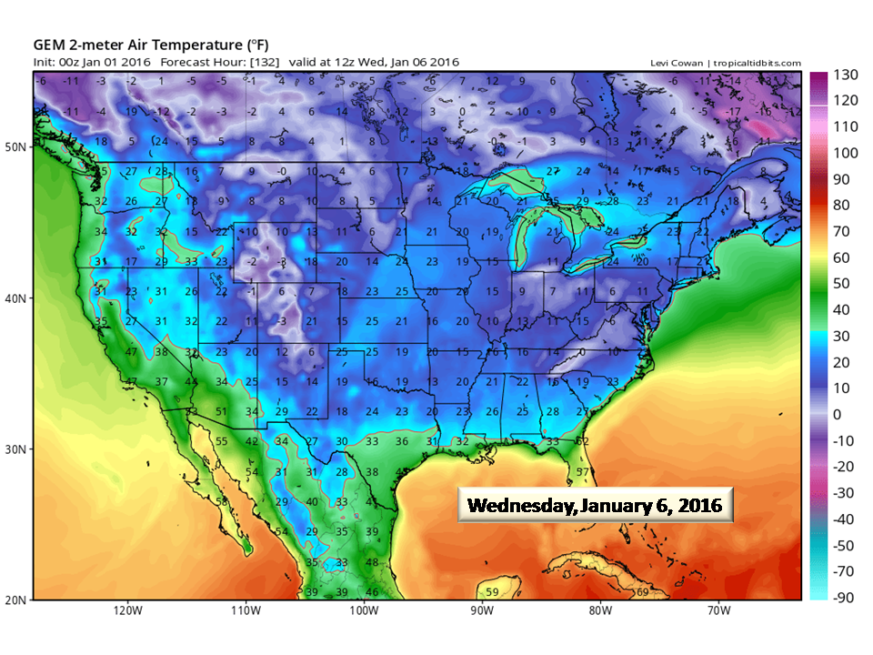
There is a chance for Flurries to an inch in the mountains Tuesday through Friday. In the medium range (through the 11th) we just don’t see much more than rain for precipitation. Sorry folks.
Long Range Models
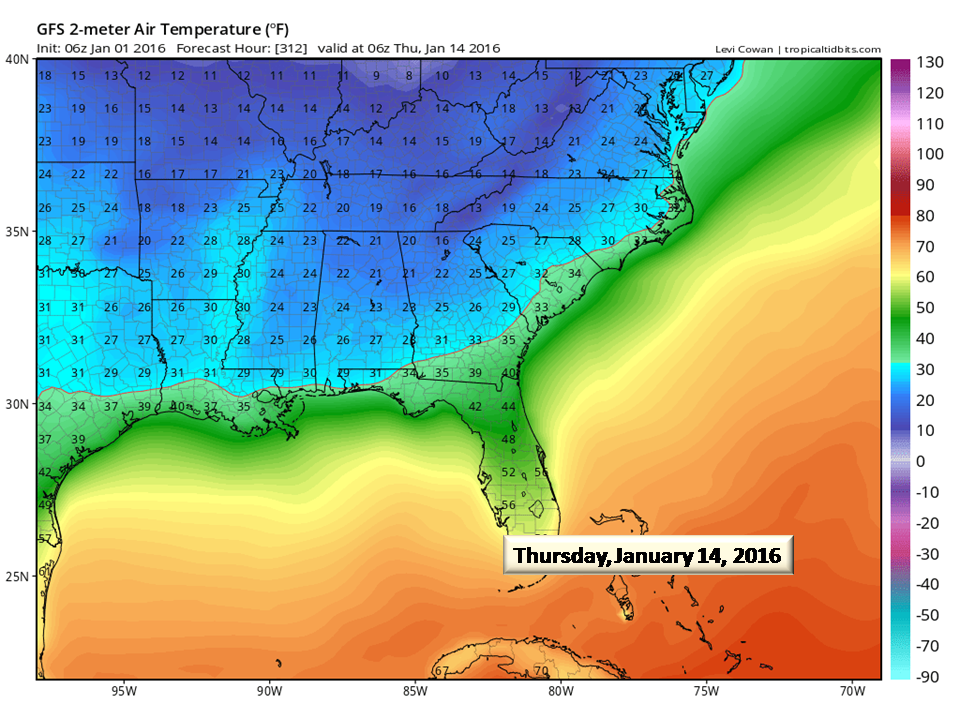
Looking beyond 10 days, our attention turns to the 14th where a considerable cold air outbreak begins. This is a TREND in the models and there is very little agreement. We show it here as an example and NOT a forecast…
“The Trend is my Friend”
Models are having a very difficult time processing the heat from this El Nino. This bias is making the extended and long-range forecast extremely difficult to work with. We do have climatology to work with and what we do see is that we are trending much cooler and this bodes well for our extremely moist environment for snow opportunities. The second half of January and going into February looks promising is you are a snow lover! For example, this is a look at the CFSv2 snowfall forecast. This shows 4 different runs of ensembles (groups of models).
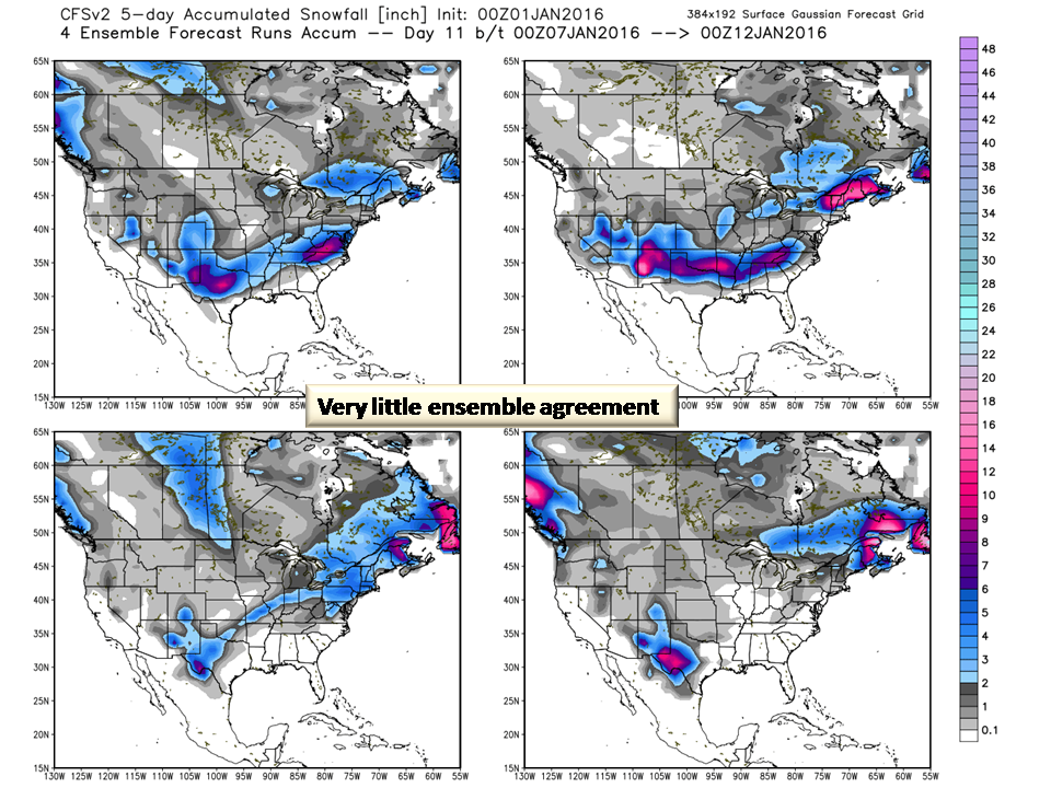
As you can see, there is very little agreement on snowfall. New England for example, has snow in all 4 runs so there is a good bet that they will have snow. NC has solid snow in 1 panel, some in another, and none in the other 2. Model agreement (consensus) is what we are looking for and it just ain’t there for North Carolina.
The Bottom Line:
Winter is just beginning to ramp up now. With our strong El Nino beginning to relax, we will begin to see more and more gulf systems coming up the coast (think Nor’easters). This is why we see NC receiving a lot of snow this season but as we mentioned in the seasonal forecast, it may come in 1 or 2 storms. We also forecast those storms to come later in the season. So sit tight, we are only getting started. We will let you know when to buy milk and bread (still a southern mystery) and what to expect.
NC Weather Happens. Enjoy it!
Be sure to get articles like this in your email by subscribing at ncwxhappens.com…its Free, No ads, and No spam but more importantly, No delay! We are also on Twitter @ncwxhappens and Google+
Advertise your business on this high volume webpage. Send us a note and we’ll send you some information.