
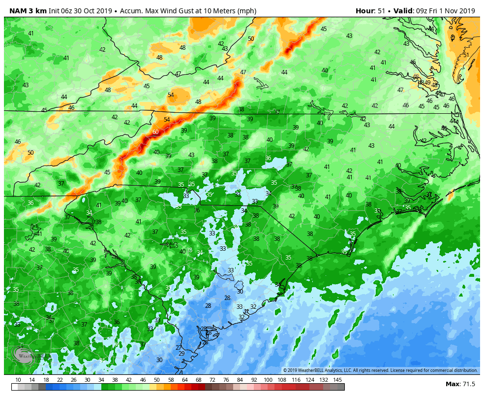
There is a slight risk of severe thunderstorms late Thursday afternoon and evening across our region. A line of showers and isolated thunderstorms is expected to track quickly east across the region with a strong cold front. The primary hazard is damaging wind gusts to 60 mph. The expected time of arrival is between 400 PM and 700 PM in the west, and between 600 PM and 1000 PM in the east. The threat of severe weather will end as the cold front passes.
Thursday Outlook:
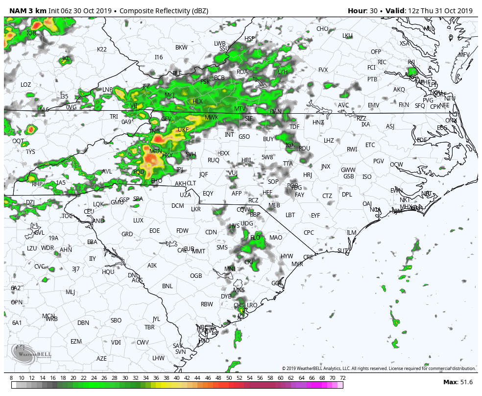
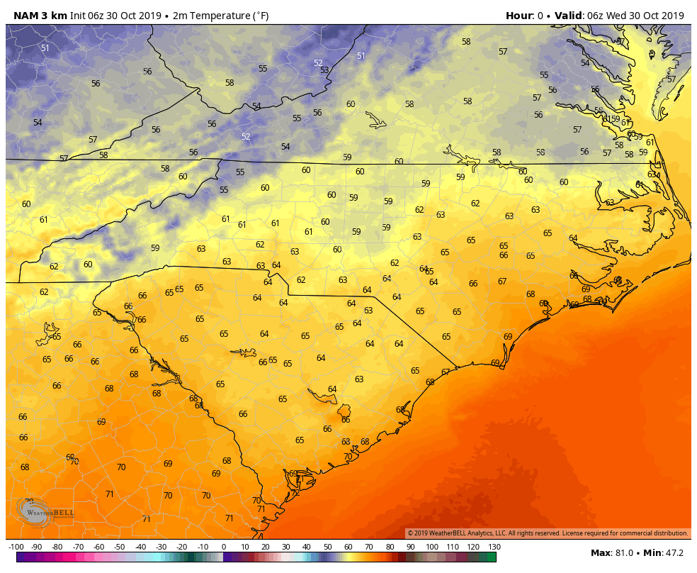
For Thursday, scattered showers and possibly a thunderstorm from daybreak on with temperatures in the mid 70’s. Rain may be heavy at times especially in the Western Piedmont, Mountains and Foothills.
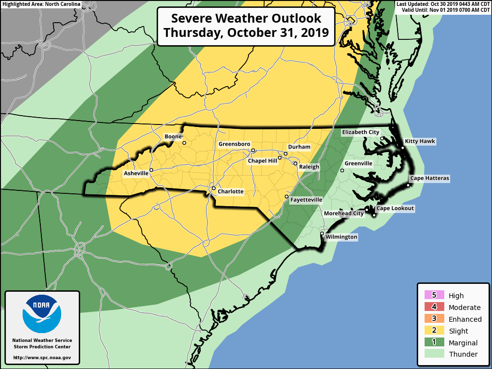
Severe Threat
As of this writing, the SPC has the Mountains, Foothills, and Central NC in a Slight Risk of severe weather with an approaching cold front. Our concern is the timing. Trick-or-Treaters will be out as the front blows through.
Wind ahead of the front may be gusty at times to 40 mph and embedded cells in the front may produce gusts to 60 mph. At this time, an isolated Tornado cannot be ruled out.
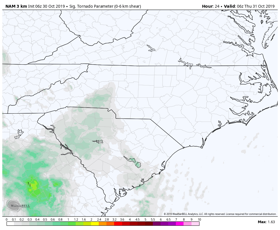
Convection allowing models this morning show elevated parameters for STP (Significant Tornado Parameter). This is an index value showing how instability MIGHT produce a tornado. Shown here, the Western Piedmont to Raleigh are all at risk. Again, this loop runs from Thursday morning to Midnight with peak intensity between 4:00 PM and 10:00 PM.
Main Take Away
Have a “Plan B” in place for your Halloween activities.
Keep in mind that decorations may get blown around and in some cases, may cause damage if they become airborne. Take a moment this evening to secure such items.
If you will be out with Trick-or-Treaters, have a means of getting weather information – mobile device, weather radio, etc…
Should the weather threaten and you are caught outside, seek shelter immediately. If you are handing out treats, invite those caught outside into your home and seek shelter.
Additional Notes:
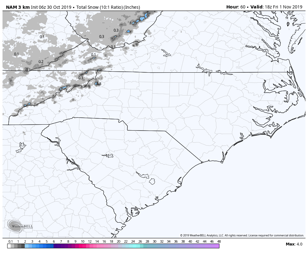
Once the front passes, we will be clear of any severe threats. The temperature will drop like a rock too…as much as 40 degrees! Friday morning temperatures will be in the 30’s for most!
To close the event out, our mountains may see some Snow Showers (mostly in the higher elevations).
Be weather aware tomorrow and check back often for any changes. The next update will be this afternoon which will highlight updated models and SPC guidance.