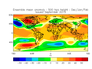
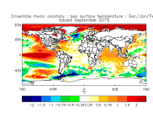
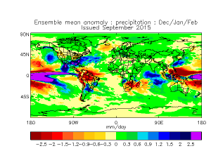
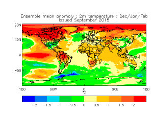
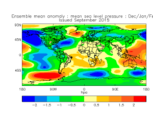
In this issue, we’ll take a look at the UKMET (United Kingdom Meteorology) model and what it is telling us about this winter. This is just one of about 6 global models we look at to determine how a season might play out. It’s a puzzle and no one model solution can be relied on.
Let’s put some puzzle pieces together and see what the UKMET says about December, January, and February.
Keep in mind that the current El Nino is strong but projected to subside before winter and the global models are beginning to see how it will impact our weather.
The Bottom Line:
If this were the only model available and we had to make a forecast for the winter, it would be easy. What we are seeing though is…the other global models suggesting about the same thing!
The UKMET is telling us that the Southeast (NC included) has an increasing likelihood of a stormy winter with a higher than normal chance of winter precipitation.
Now, I know you want a solid answer without all the CYA terms…
- Will it snow? – Yes. It’s Winter.
- Will we see brutal cold like last year? – Not Likely but can’t rule it out.
- How about Ice? – Chances are better for Ice Storms this winter so… Yes.
- What is the most likely precip type we will see this winter? – Best bet is Rain.
- What are the other models saying? – We’ll cover them as we go along.
This is just one model. The European is coming in cooler and wetter, the JAMSTEC (update coming soon) is similar to the UKMET, the Canadian, is out in La La Land, and the American (GFS) is similar to the European. We have a lot of puzzle pieces to put together, so sit tight while the picture emerges.
NC Weather Happens. Enjoy it!
Be sure to get articles like this in your email by subscribing at ncwxhappens.com…its Free, No ads, and No spam but more importantly, No delay! We are also on Twitter @ncwxhappens.
If you are interested in advertising on this high volume webpage, please send us a note and we’ll send you some information.
